| URL | http://<imageservice-url>/kml/image.kmz |
Parent Resource | Image Service |
|---|---|
| Required Capability | Image |
Description
The KML Image resource represents a ground overlay document wrapped in a KMZ file. When using an Image Service, KML Regions are not supported.
For more information about kml as an output option, see KML support.
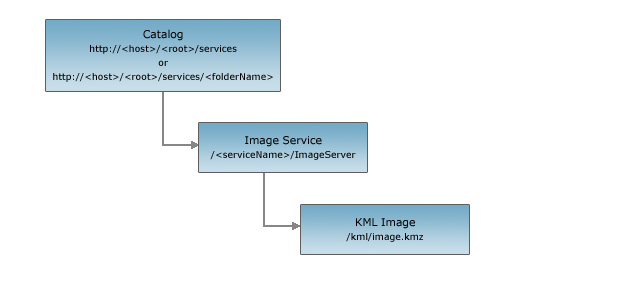
Resource Hierarchy
Parameters
| Parameter | Details |
|---|---|
| size | Description: The size (width *
height) of the exported image in pixels. If the size is
not specified, an image with a default size of 400 * 400 will be
exported.Syntax: <width>,
<height>Example: size=600,550 |
| format | Description: The format of the
exported image. The default format is png. Values: png | png8 | png24 | jpg | bmp | gif |
| pixelType | The pixel type, also known as data type, pertains to the type of values stored in the raster, such as signed integer, unsigned integer, or floating point. Integers are whole numbers, whereas floating points have decimals. Values: C128 | C64 | F32 | F64 | S16 | S32 | S8 | U1 | U16 | U2 | U32 | U4 | U8 | UNKNOWN |
| noData | The pixel value representing no information. Example: noData=0 |
| interpolation | The resampling process of extrapolating the pixel values while transforming the raster dataset when it undergoes warping or when it changes coordinate space. Values: RSP_BilinearInterpolation | RSP_CubicConvolution | RSP_Majority | RSP_NearestNeighbor |
| compressionQuality | Controls how much loss the image will be subjected to by the compression algorithm. Valid value ranges of compression quality are from 0 to 100. Example: compressionQuality=75 |
| bandIds | If there are multiple bands, you can specify a single band to export, or you can change the band combination (red, green, blue) by specifying the band number. Example: bandIds=2,1,3 |
| mosaicProperties | Controls what mosaic operation will be used to create the displayed raster from an image service. MosaicProperties is an XML formatted string. Examples:
|
| viewpointProperties | The view point properties determine the desired viewing angle of a theoretical observer and subsequently the ordering of rasters in a given data frame extent. ViewpointProperties is an XML formatted string. Example:
|
Example Usage
Example 1: Request a KML ground overlay document for an image service.
http://myserver/ArcGIS/rest/services/myImageService/ImageServer/kml/image.kmz
KML Response Example
Below is a typical response KML document wrapped in an example KMZ response:
<?xml version="1.0" encoding="UTF-8"?>
<kml xmlns="http://earth.google.com/kml/2.2">
  <NetworkLink>
    <open>1</open>
    <name>Images/World</name>
    <LookAt>
      <longitude>0</longitude>
      <latitude>0</latitude>
      <range>23400000</range>
    </LookAt>
    <Region>
      <LatLonAltBox>
        <north>90</north>
        <south>-90</south>
        <east>180</east>
        <west>-180</west>
      </LatLonAltBox>
      <Lod>
        <minLodPixels>128</minLodPixels>
        <maxLodPixels>-1</maxLodPixels>
      </Lod>
    </Region>
    <Link>
      <viewRefreshMode>onStop</viewRefreshMode>
      <viewRefreshTime>2</viewRefreshTime>
      <href>http://myserver:8399/arcgis/rest/services/Images/World/ImageServer/exportImage</href>
      <viewFormat>
        <![CDATA[
        f=kmz&bboxSR=4326&imageSR=4326&bbox=[bboxWest],[bboxSouth],[bboxEast],[bboxNorth]&size=[horizPixels],[vertPixels]
        ]]>
      </viewFormat>
    </Link>
  </NetworkLink>
</kml>